Unlocking the Vertical Dimension.
UNIQUE IMAGES
Photography
Elevate your vision. Elevate your visual content with crystal-clear aerial stills. Our professional drone pilots and top-tier equipment provide detailed comprehensive views for commercial and creative applications. Whether you need precise site documentation or marketing assets we deliver exceptional photographic quality from above.
new perspectives
Videography
Tell a more dynamic story with cinematic aerial videography. We create smooth, high-definition drone footage that adds unparalleled production value to films, commercials, inspections, and corporate videos. Transform the way you showcase a property, event, or large-scale project.
integrated approach
Editing
Don't just get raw footage; get a finished product. Our professional editing team integrates drone footage seamlessly with ground video and stills, applying color grading, stabilization, and sound design to deliver a polished, ready-to-publish asset that meets your exact specifications and narrative goals.
New solutions
3D Mapping
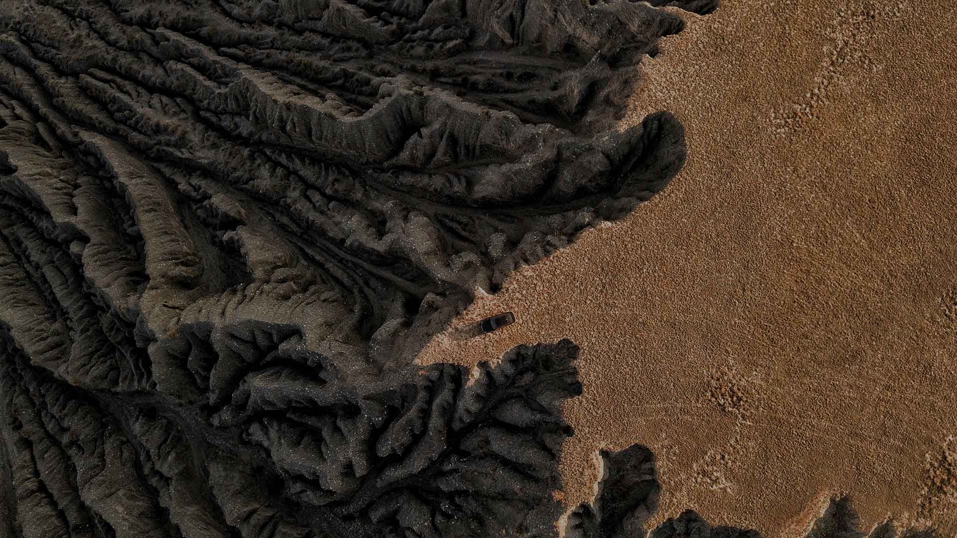
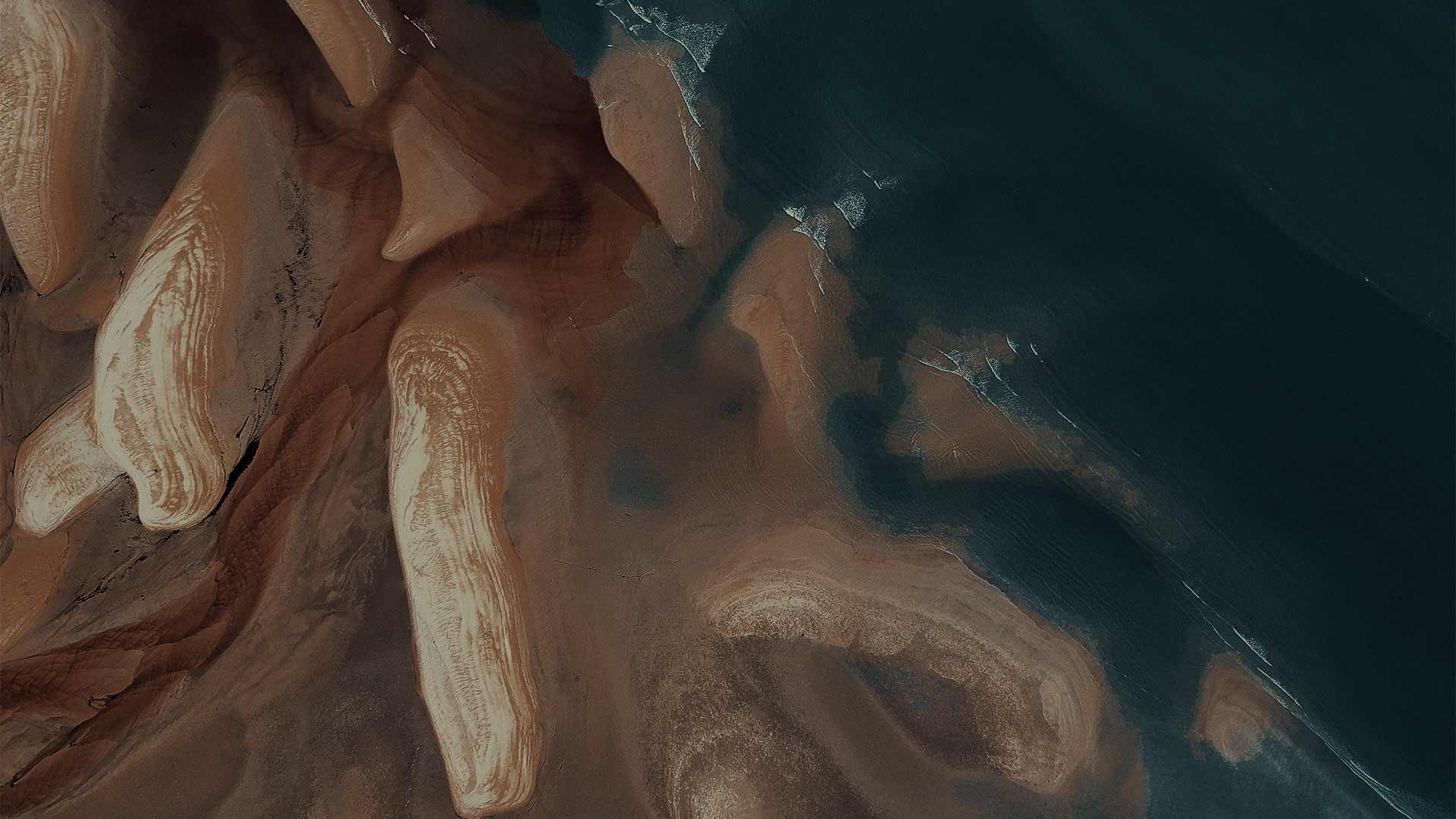
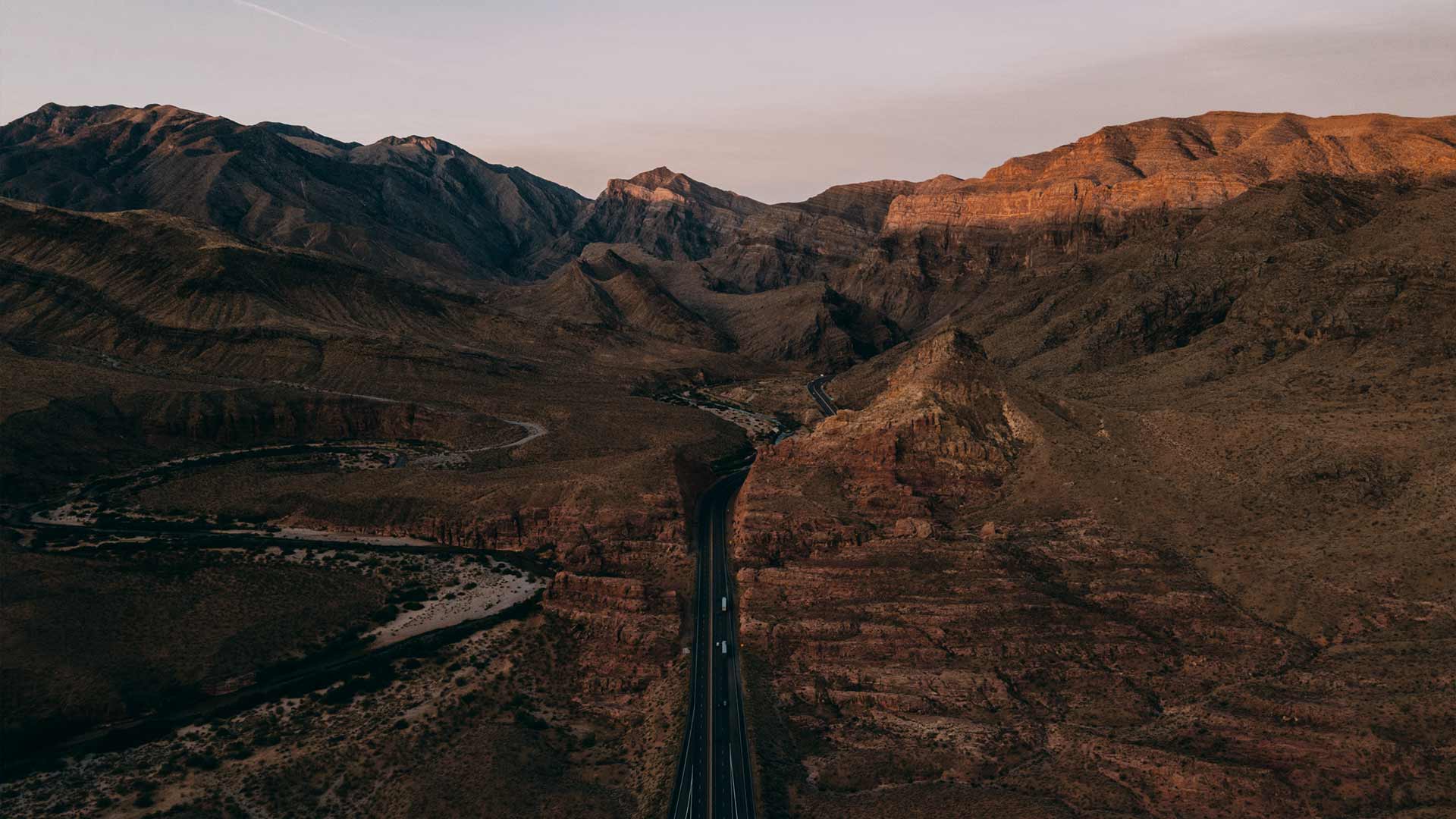
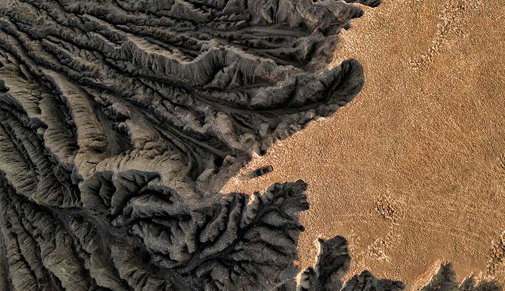
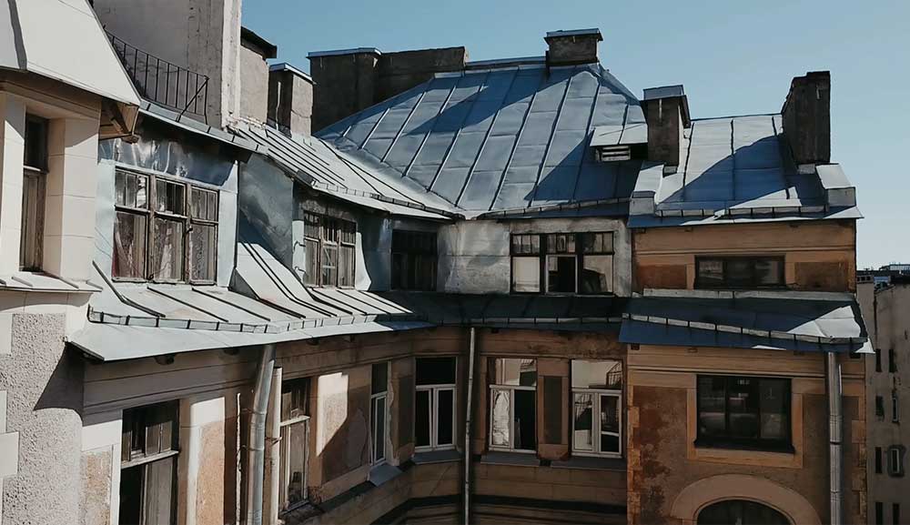
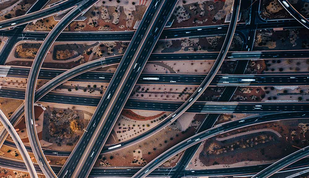
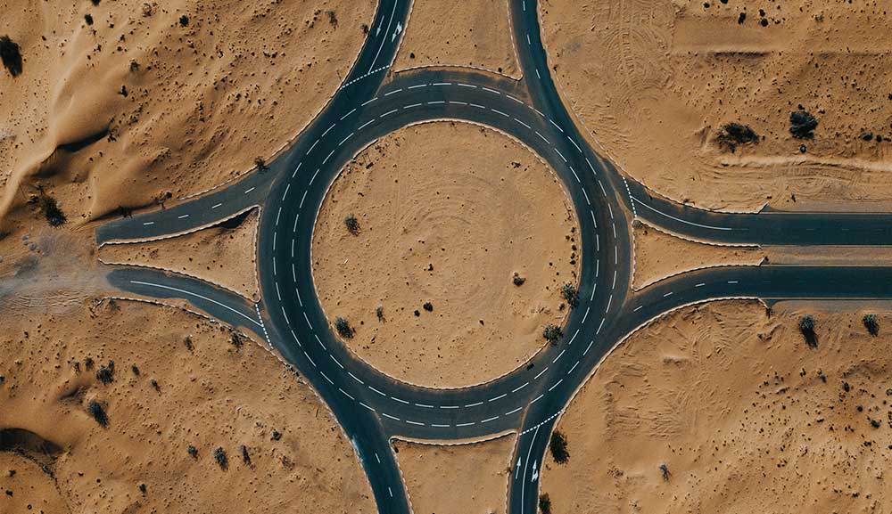
From Data to Digital Artistry.
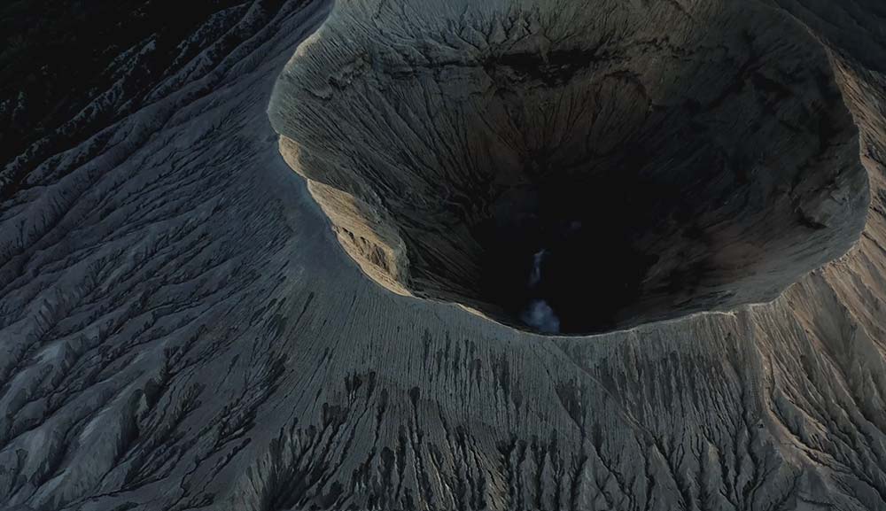
We don't just capture data; we sculpt the landscape. Our 3D mapping service transforms the complexity of your site into mesmerizing, high-definition digital models and flawlessly rendered orthomosaics. Every line, contour, and elevation is captured with centimeter-level precision, creating a virtual replica that is both scientifically accurate and visually stunning. This fusion of art and science provides you with the ultimate tool for architectural visualization, precise volume calculations, and comprehensive site analysis. See your project not just as a map, but as a masterpiece of measurable reality.
Finest quality
Augemented Viewpoint Systems
Flight Protocol: Engaged. We leverage next-generation drone technology, deploying custom-coded flight platforms to deliver unparalleled visual data. Our systems aren’t just crafts; they are digital extensions of our vision, capable of executing complex maneuvers and capturing 4K resolution imagery and 3D mapping data with ruthless efficiency. We merge the physical environment with the digital sphere, providing you with enhanced, actionable intelligence that pushes the boundaries of what’s possible in aerial surveillance, inspection, and cinematic production.
Duis non enim pha retra gra vida arcu et, pret ium ante dolor sit amet, elit dolore lorem.
BIN Studio
Nam cursus ipsum quis nunc quis feu giat augue ante mau ligula sed et por, quium nostre.
GAMA Production
Social Media


